Skip to content
Zenodo
Linkedin page opens in new window
RSS
Search:
SEARCH
MEET
MEET – Multi-sites EGS Demonstration
Context & perspectives
Consortium
ES-Geothermie
Institut Polytechnique UniLasalle
Geophysical inversion & modeling labs
CY Cergy Paris University
University of Darmstadt
Universitätsenergie Göttingen GmbH
University of Göttingen
Vermilion
Enogia
GFZ German Research Centre for Geosciences
Febus Optics
University of Zagreb
ICETEC
Geological Survey of Belgium
GeoThermal Engineering GmbH
Benkei
Demonstration sites
Balıkesir
Cazaux
Chaunoy
Condorcet
Death Valley Analog
Grásteinn
Havelange
Krauma
Soultz-sous-Forêts
United Downs Deep Geothermal Project
Universitätsenergie Göttingen GmbH
Project Results
Deliverables
Diploma & Master Thesis
Publications
Conference and Workshop Proceedings
Posters
Outreach Articles
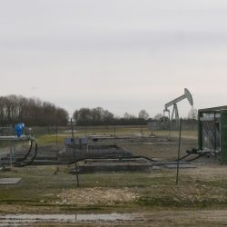
HOW CAN WE DO GEOTHERMAL FROM OIL WELLS?
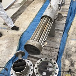
HOW TO EXPLAIN SCALING AND CORROSION FORMATION?
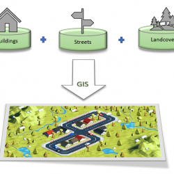
WHAT IS A GEOGRAPHIC INFORMATION SYSTEM?
Winter School
Demonstration Workshop
Decision Making Support Tool for Usage of Geothermal Energy
News
Contact
Outreach Articles
You are here:
Home
Project Results
Outreach Articles
HOW TO EXPLAIN SCALING
AND CORROSION FORMATION?
HOW CAN WE DO GEOTHERMAL
FROM OIL WELLS?
WHAT IS A GEOGRAPHIC
INFORMATION SYSTEM?
Share this page
Share on Facebook
Share on Facebook
Share on X
Share on X
Share on LinkedIn
Share on LinkedIn
Go to Top
We use cookies to ensure that we give you the best experience on our website. If you continue to use this site we will assume that you are happy with it.
Ok